|
| |
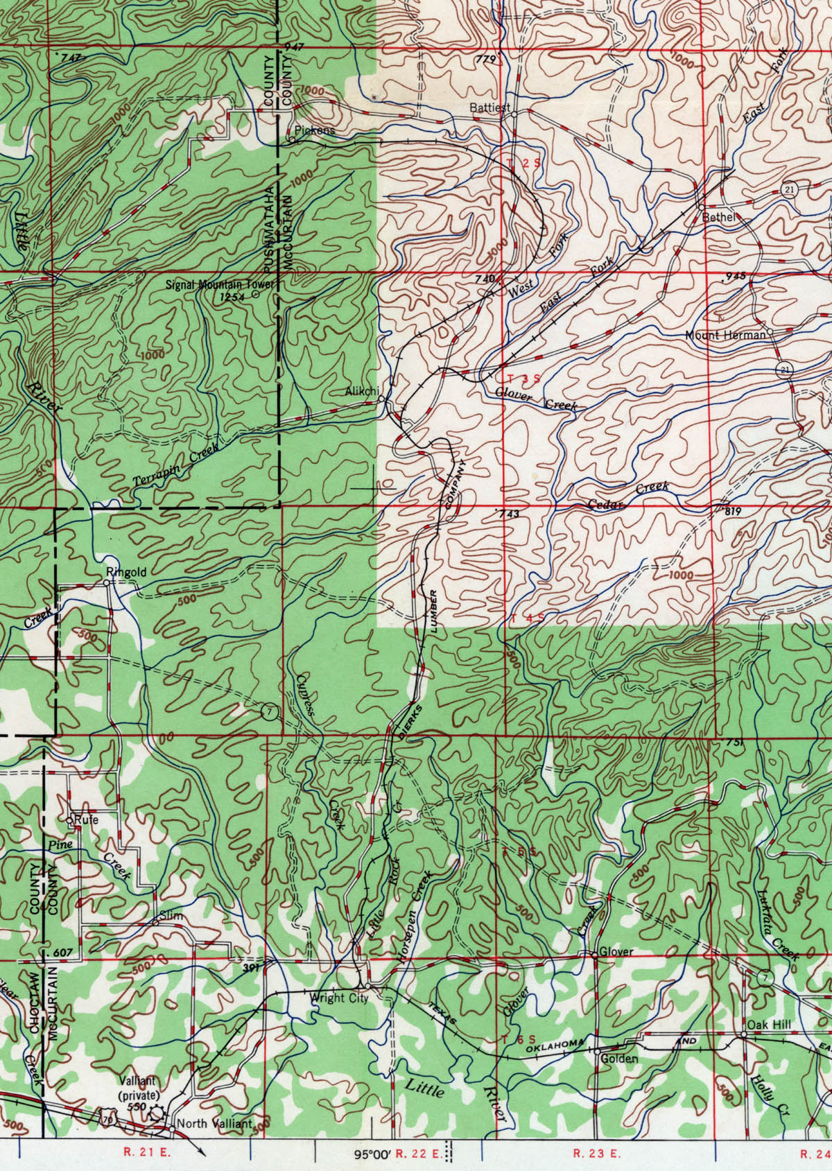
Dierks Lumber Industries (Okla.), Map Showing Tram Route in 1948. |
|
| |
Source: U.S. Geological Survey. McAlester quadrangle [map]. 1948. 1:250,000 Series. Reston, Va: United States Department of the Interior, USGS, 1948. |
|
| |
|
|
| |
<< Map Index |
|
| |
|
|
| |
|
|
|
|
|
|
 |
| Information and images were digitized and proofread from the original source documents by Murry Hammond. Contact Murry for all corrections, additions, and contributions of new material. |
|
| |
|
|