|
| |
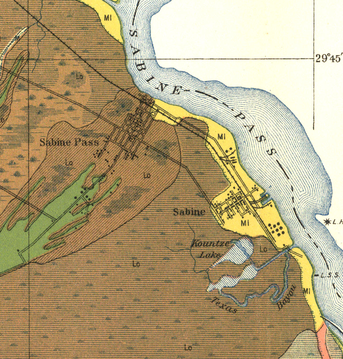
Sabine Pass, Texas. Map showing port and terminal tracks in 1913. |
|
| |
|
|
| Source: |
United States, William T. Carter, L. R. Schoenmann, and T. M. Bushnell. Soil Map, Texas, Jefferson County Sheet. [Washington, D.C.]: U.S. Dept. of Agriculture, Bureau of Soils, 1913. |
| Counties: |
Jefferson County. |
|
|
| |
<< Map Index |
|
| |
|
|
| |
|
|
|
|
|
|
 |
| Information and images were digitized and proofread from the original source documents by Murry Hammond. Contact Murry for all corrections, additions, and contributions of new material. |
|
| |
|
|